Glasgow bridges (St Enoch)
There are a lot of bridges in Glasgow; this is just about a handful on a line that ran out of St Enoch.
In case you are wondering, St Enoch was the mother of St Mungo (aka St Kentigern), the two supposed founders of Glasgow.
St Enoch was a large terminus with twenty platforms, situated just east of Glasgow Central. Trains headed east out of the station, and then either curved sharply to go south over the river, or rather more gently to go northeast, and there was a chord allowing trains to bypass the station. The tracks of the bypass are still in place, as far as I know this is still in use. A large loco shed stood in the triangle.
St Enoch is on the Glasgow underground (now the "subway"). This is the original entrance.

The main station has been levelled, and there is now a shopping centre on the site - St Enoch Shopping.

Where the loco shed used to stand is now a car park - I parked our hire care there!
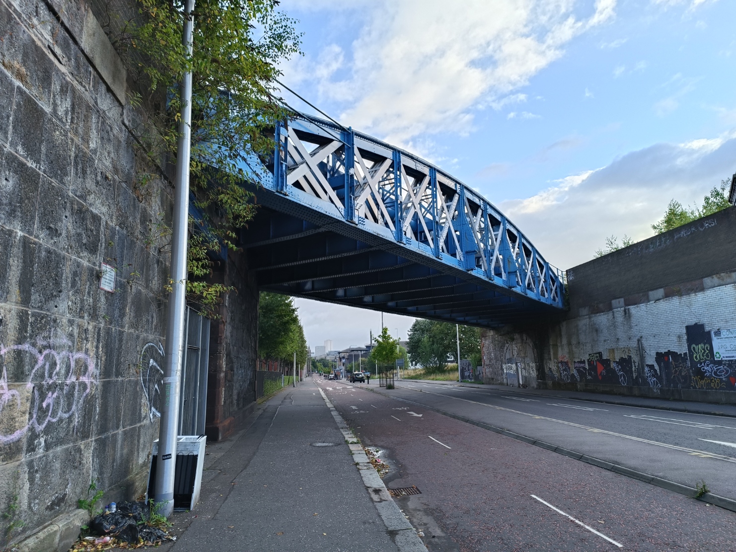
This was the chord between the two routes, looking northeast.

The arches beyond the lattice bridge are used by various businesses of an upmarket nature.

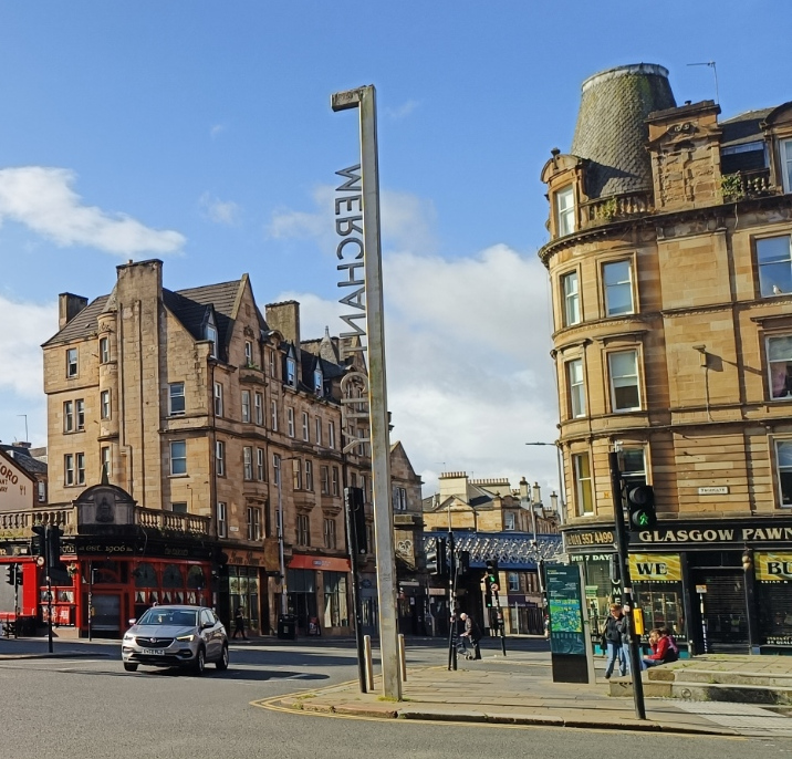
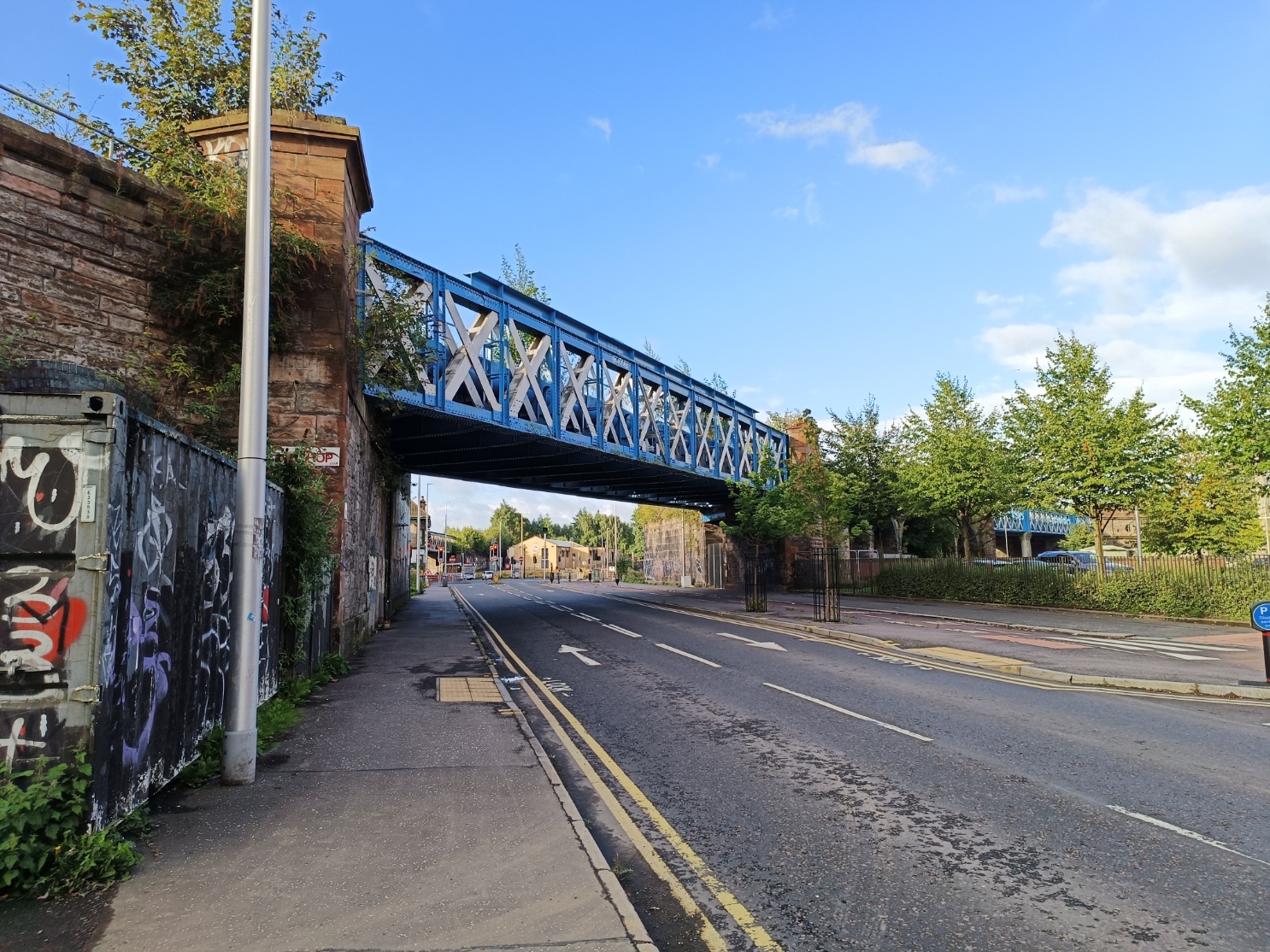
The chord joins the line to the northeast just before crossing Saltmarket on a lattice bridge. This is the view from the tollbooth.


Following the line that went to the south... This was four tracks at one time, the two on the west side have been lifted. It crosses Clyde Street on a rather plain bridge, but fancy abutment, which is, I guess, because to the right is the bridge over the Clyde.
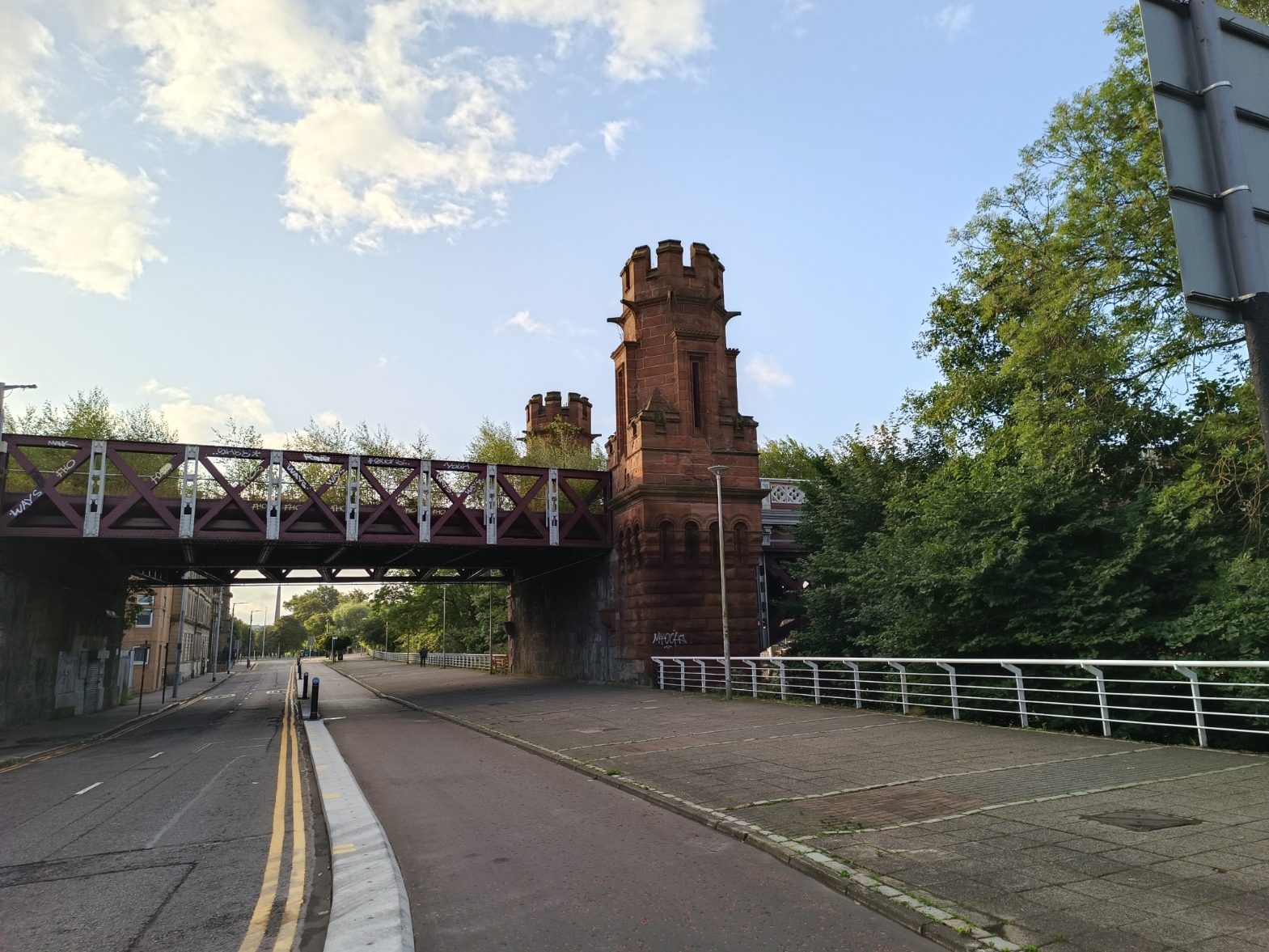
The bridge over the Clyde is a five-span iron arch, with turret-like piers.

A brief span takes it across Adelphi Street, then behind the central Mosque - you can see the dome in the image above. Then this substantial-looking plate girder bridge.
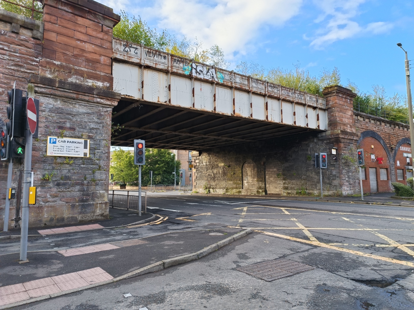
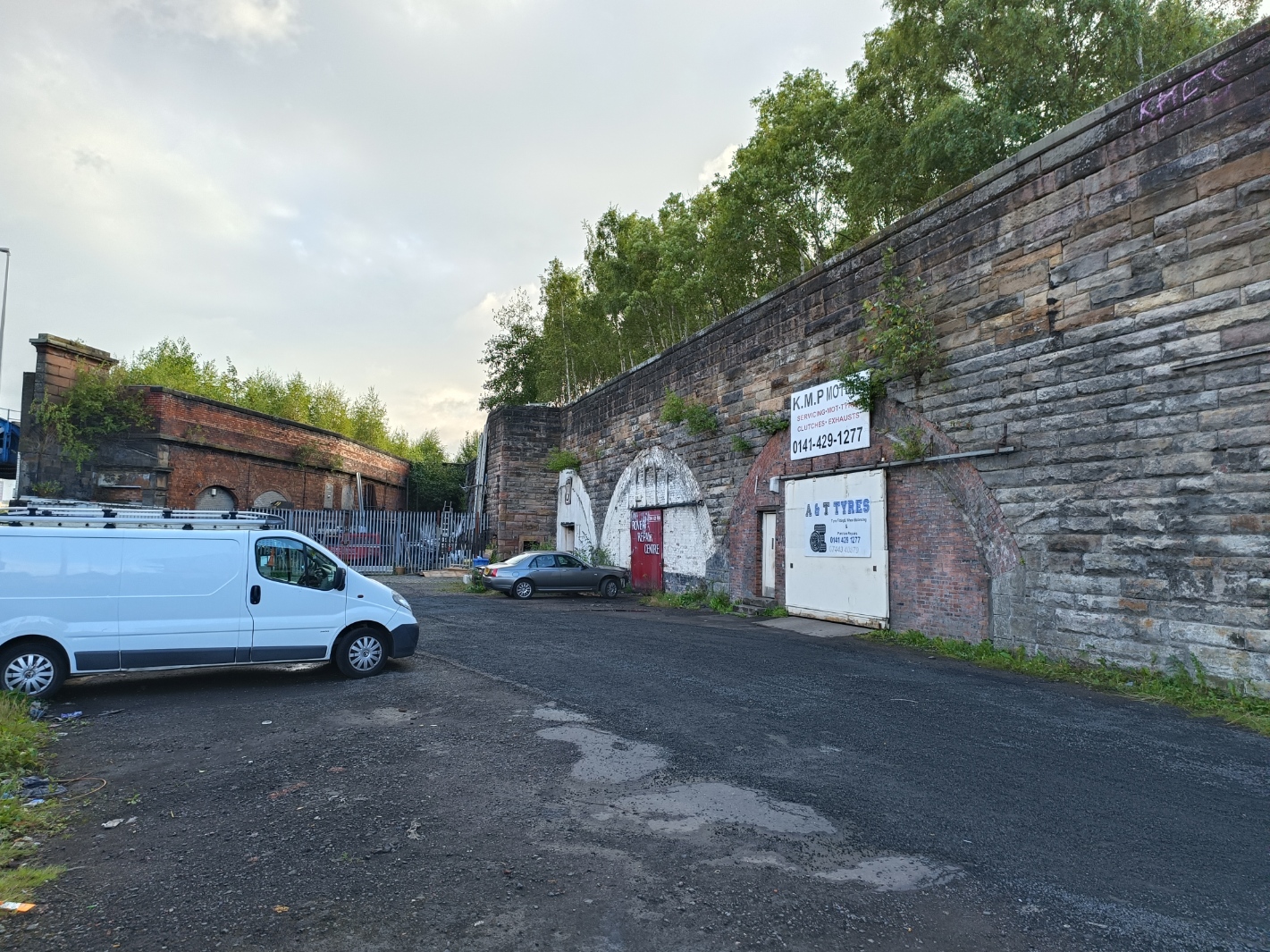
The arches beyond are occupied by various businesses, but rather more run down that the earlier one.
The next bridge is in very good condition, which is odd because it only leads to a private car park. Another plate girder bridge.

Looking back at the businesses.

The mainline at the point started to curve to the west, while a branch continued south. The viaduct bulged at the point, and the bulge is clear in Google Maps. Looking at map from a century ago there is no obvious reason for the bulge - no track or buildings on it.
The tracks cross Cleland Street at this point. The bulge is apparent in the section with the bridge absent. I assume there was a bridge there, but not sure.

The style of the bridge suggests a station, which would account for the bulge, but I can find no evidence of one.
The line to the west is still extant. The arches are again used by businesses, but are in an even worse state. However, there are unofficial signs up saying the arches are home to pipistrello bats, which might explain why.

From the other side, the lattice is arched. I guess one side had to be replaced?
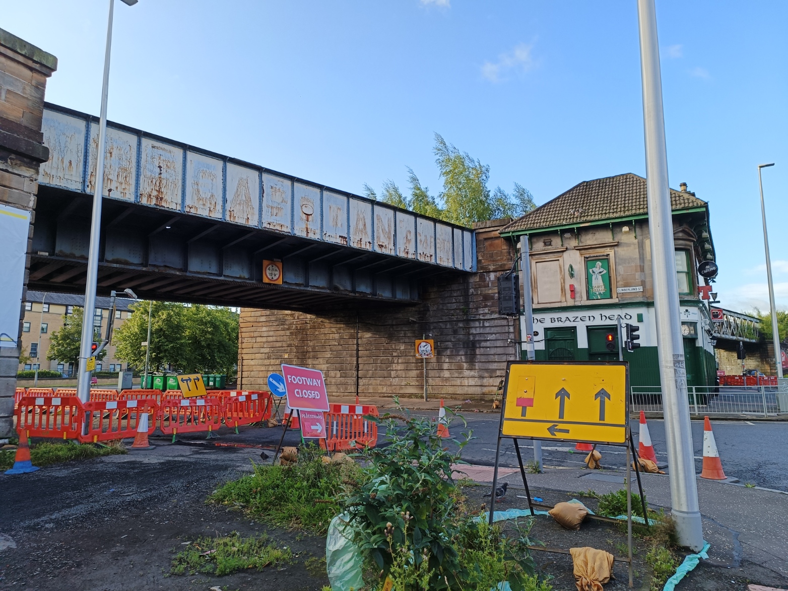
The line south crossed a plate girder bridge before going behind - and over the top of - the Brazen Head pub.


Comments
Post a Comment