The ELR Bridge over the Ribble
Note: This was was originally published on my "around Preston" blog, two years ago before I had started this blog.
The North Union Railway (NUR) built the first railway bridge over the River Ribble in 1838.
The Blackburn and Preston Railway used the same bridge from (I think) 1844, for their line to Blackburn; this company became part of the East Lancashire Railway (ELR) in 1846. Following a dispute between NUR and ELR over train priorities, the ELR decided it wanted its own bridge and station.
Preston Corporation petitioned against this, perhaps because several members were also share-holders in various other railway companies! In the end, permission was granted, but the company had to pay for landscaping what would become Miller and Avenham Parks, and to include a footbridge as part of the design.
The new bridge and station were opened on the 2nd September, 1850.
The original design was three iron arches, with further brick arches at each end beyond the river. Photos of it are few and far between, the only three I have found are here, here and here.
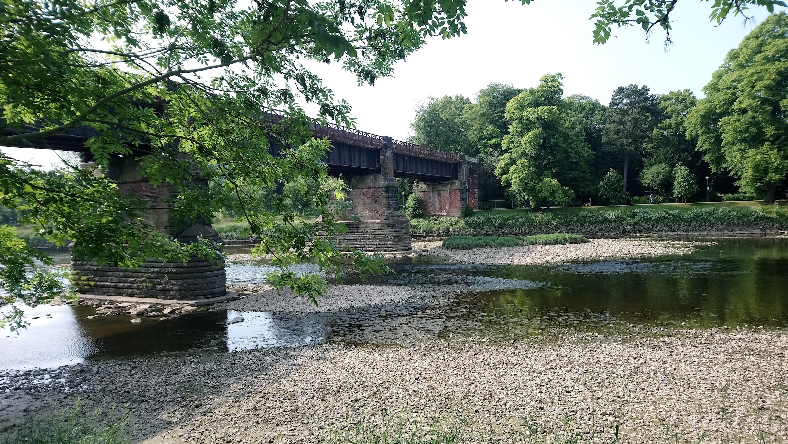
The arches were replaced in 1930 by the steel spans seen today. As far as I can tell, the piers were reused. The railway over the bridge was closed in 1972, as part of the remodelling of Preston station for electrification. It is still open as a footbridge.
From the south side of the river.
And the north side. Note the high railings. Trains would frequently stop on the bridge awaiting a platform in the station. The railings were to dissuade passengers from alighting here. "Mind the gap..."

The view from the bridge looking east, dominated by the NUR bridge.

The view looking west, towards the Old Tramway Bridge.

Part of my reason for creating this post is a plan to model the bridge, so the rest of this is in consideration of that.
I estimate...

From a map from 1928, each span looks to be about 100' across. The spot heights in the station are between 65 and 70; I am guessing the bridge is a little lower, given the railway was low enough to pass under the NUR line in Penwortham, so about 65' above the water level (mean sea level). The piers are on islands which are at some elevation above mean sea level. The path to the north is about 25' above. That said, to me eye, the span is about twice the distance from track level to the base of the pier.
In N gauge, at 2mm to the foot, the three spans of the bridge would be 600 mm and the track would be between 100 mm and 130 mm above the surface. 600 mm is rather long, and a two span bridge may be preferable. Say a width for track of 50 mm, plus 10 mm for the footpath.
Some close-ups from the north side, showing the stone arch and steel girders in some detail.


This image has some estimated dimensions added.


Comments
Post a Comment